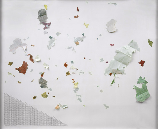
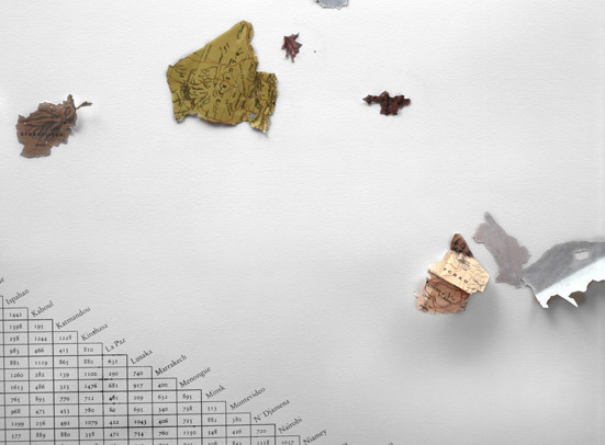
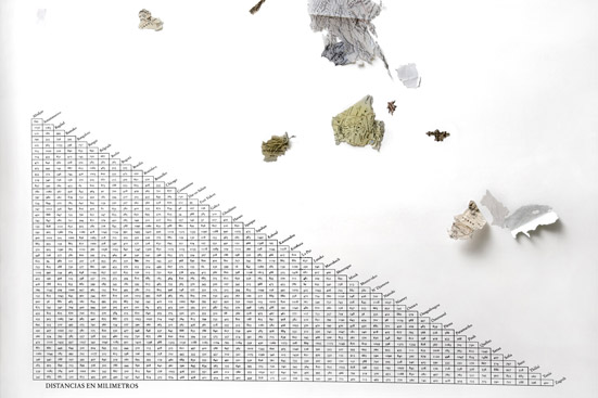
Liliput
Collage.
130 x 180 cm.
In Liliput the countries taken out from a world map are placed by chance on a white paper as if they had fallen down from a certain height. This fall has not affected just the position but the scale of the countries in the representation: a relative distances chart drawn on the white paper establishes the new distances in millimeters.